|
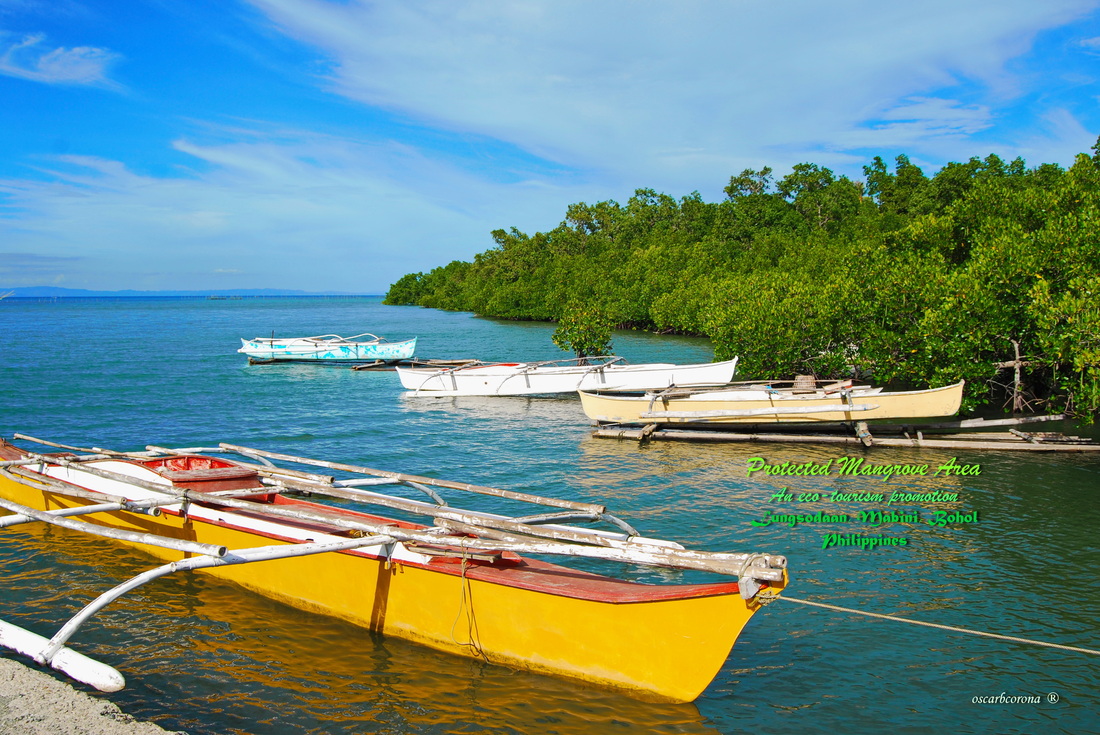
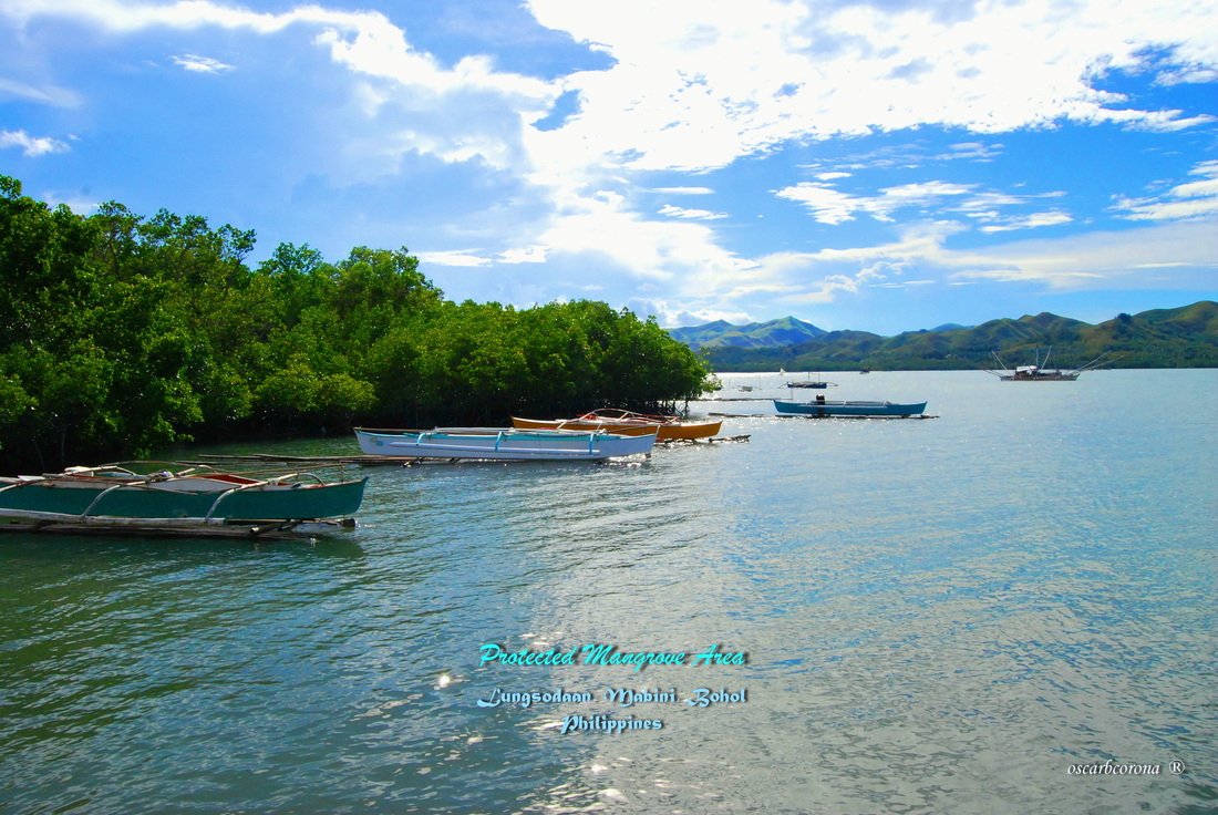
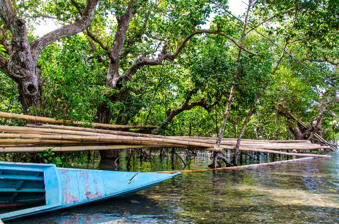
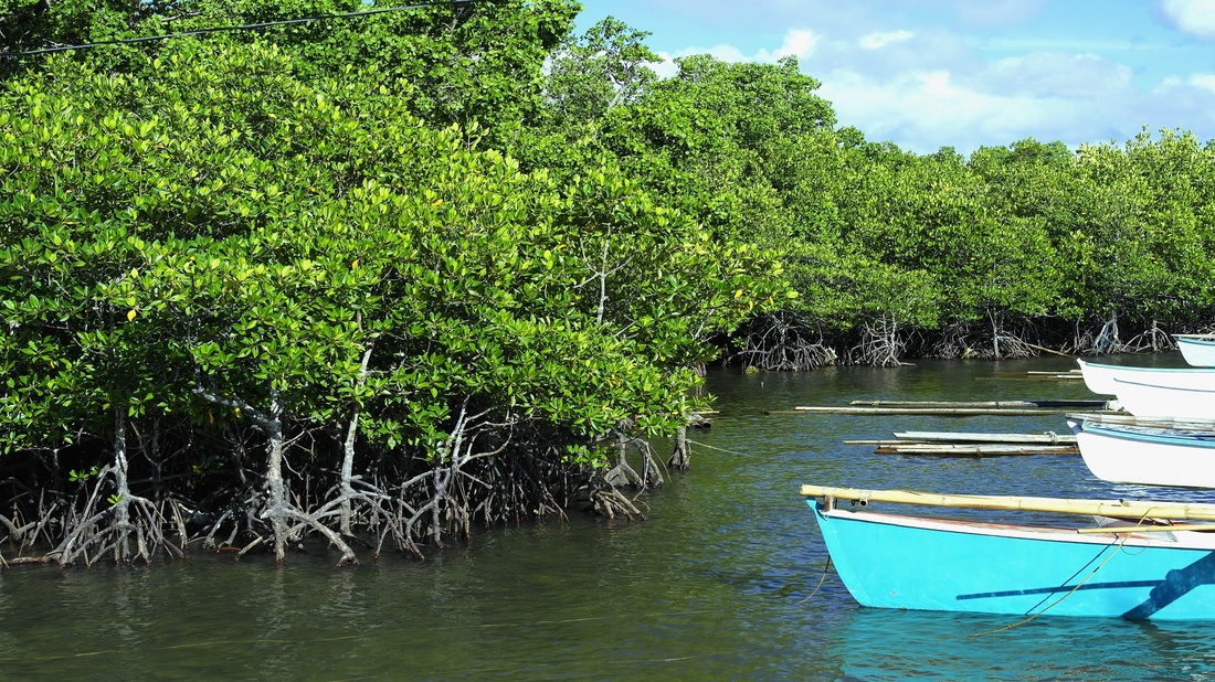
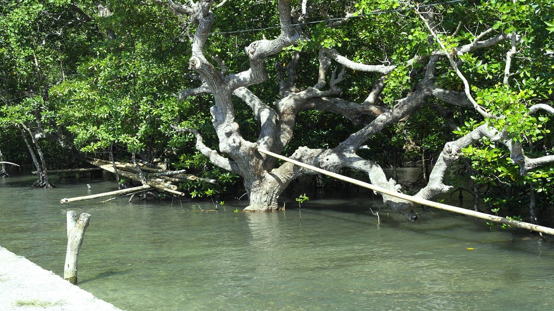
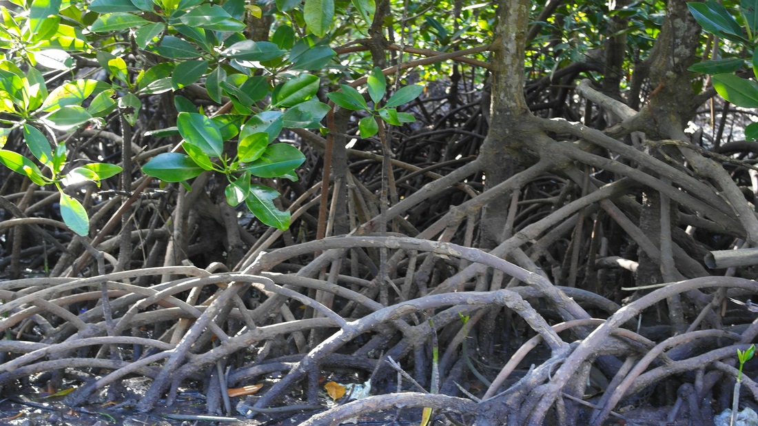
LUNGSODAAN MABINI MANGROVE PLANTATION SITE:The mangrove site is located at the coastline facing Barangay San Jose (Ondol) at the north and Lungsodaan Bay, which stretches from the fishpond at the west to the boundary of the Mabini and Maasin City, Souther Leyte municipal waters. The Mangrove site includes the mangrove stand located across the Lutason area, going northward toward Huagdan and Tintinan Islands. Mangroves and timberlands are protected areas under RA 7586 (NIPAS Law).
The area is also covered under the Mabini Municipal Coastal Resource Management (CRM) Area, under the CRM council created pursuant to RA 8550 (Fisheries Code of 1998). The geographic extent of coastal zones in general, may include areas within a landmark limit of one kilometer from the shoreline at high tide to include mangrove swamps, brackish water ponds, nipa swamps and other areas within a seaward limit of 200 meters isobaths to include algae flats, sea grass beds and other soft-bottom areas. But, the area can be developed into an eco-tourism site, where nature lovers can go canoeing/kayaking or do leisure cruising around Cabulao Bay without necessarily destroying the coastal ecosystem and such activities subject to existing environmental laws and regulations. |
Site Map : |
Follow Us : |
Support : |
|
Copyright © 2013-2014 | www.lungsodaanmb.weebly.com | www.facebook.com/lungsodaanmabinibohol | [email protected] | +639053119111
